
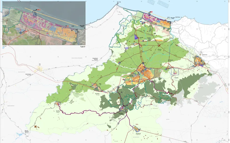
Berkane masterplan, Morocco
A masterplan for Grand Berkane, between the Mediterranean coast and the Algerian border
After winning the 2016 international competition, EDDEA is drawing up the SDAU for Grand Berkane, as part of the Moroccan Government's strategy to provide the country's main areas with territorial planning documents. The SDAU (Schéma Directeur d'Aménagement Urbain) is the instrument that sets the strategic lines of each region's urban, economic, social and environmental development through its territorial planning.
The Grand Berkane SDAU plans the city of Berkane and its area of influence: 1,831 km² with some 290,000 inhabitants. The province is the northernmost in Morocco, open to the Mediterranean and next to the border with Algeria.
A strategic location
Berkane lies between two major cities: Oujda, to the south-east, capital of the Oriental Region and the best connected to the rest of Morocco (motorway, rail, airport), and Nador, to the north-west, a port with significant freight and passenger traffic to and from Europe.
Goods travelling between Oujda and Nador pass through this territory, which also concentrates the distribution of the Oriental Region's agricultural produce.
Tourism concentrated on the coast
Tourism is concentrated on the coast, as a continuation of the Nador coastline, where this activity is highly developed.
Coastal tourism and higher agricultural productivity concentrate most of the population in the northern half of the province. In this area the network of urban centres is balanced, with a clear hierarchy of towns and a radial communications structure centred on Berkane.
